
Tarrant Neighbor Record Sources
Tarrant neighbors are best understood through separate parcel, registration, municipal, and organization records. CAID maps the target and adjacent parcels. TAD provides the taxable owner, tax mailing address, situs, legal description, and instrument reference for each selected parcel. The Clerk can verify an instrument, while the voter interface is limited to an individual registration check. A neighborhood organization record describes a group or boundary, not the people who live within it.
| Source | What It Shows About a Block | Access and Limit |
|---|---|---|
| CAID Property layer | Target and adjacent parcel polygons, account or georeference context | Public map; pan, zoom, and click parcels; no separate radius tool was located |
| TAD parcel card | Owner, tax mailing address, situs, legal description, value, and instrument | Public search and export; not a household roster |
| County Clerk records | Deeds, plats, liens, and named parties tied to instruments | Online index; image and certified-copy routes differ |
| Tarrant voter lookup | Individual registration match, address, status, precinct, and districts | Name, date of birth, and State Voter ID; no block roster |
| Fort Worth organization layer | Registered group boundaries, contacts, and meeting information | Public civic record; membership is not a public field |
Start by deciding what needs confirmation. A parcel card can show who receives tax notices, but it does not prove who occupies the location. A voter result can confirm a registered voter under the applicable interface, but it cannot turn nearby addresses into a roster. That separation protects both accuracy and privacy.
Tarrant CAID Parcel Walk
Tarrant County CAID is the useful local first stop for a block question because it is map-based. Enter the target in Main Search, Composite, or Bing Search, then zoom until the Property layer renders. Identify the target parcel first. Pan or zoom outward and click each adjacent polygon, noting its direction from the target, visible address clue, and account or georeference. The public material does not identify a buffer command, an automated neighbor export, or a guaranteed parcel order.
The official CAID parcel viewer shows the map controls and layer context used to identify neighboring parcels around one Tarrant address.
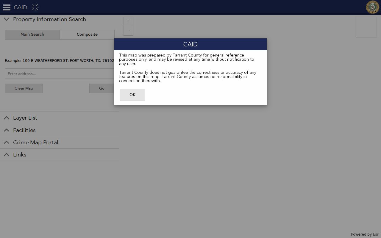
Record the map date with each observation. The county describes CAID as a general-reference map that can be revised, so the visible polygon is a research lead that still needs a TAD or Clerk cross-check.
Tarrant Neighbor Parcel Details
For each adjacent parcel, open the Tarrant Appraisal District Property Search card and keep four fields separate: property or situs address, primary owner name, primary owner address, and legal description. The card can also show market value, state code or class, subdivision, neighborhood code, instrument, Mapsco, and site number. The owner address is a tax-notice destination. It may be the same as the situs, a post-office box, a business location, or another city.
A local map and tax card can also diverge. TAD sample legal descriptions may say “CITY BOUNDARY SPLIT,” which is a reason to check the city-boundary and ZIP layers before describing a Tarrant block. Adjacent lots may fall in a different city, ZIP, school district, or precinct even where the street looks continuous.
| TAD Search Control | Use for a Neighboring Parcel |
|---|---|
| All Categories | Select account, owner, property address, legal description, subdivision, or another supported field |
| Property type | Limit a search to Residential, Commercial, Mineral, or Personal Property when appropriate |
| Enter Your Search | Supply the address, owner, account, georeference, or legal-description term |
| Export All or Export Page | Export the selected results to Excel or text for a dated research note |
| Page size | Use 25, 50, or 100 rows when checking a group of parcels |
Do not call an instrument reference a deed until the Clerk image confirms its document type. A legal description often remains useful when a numbered address or city label changes.
Tarrant Neighbor Voter Limits
The Tarrant County Voter Lookup is a name-first form, not a map report for everyone on a block. Its fields are last name, first name, date of birth, and State Voter ID. A result may show a registration match, address, status, precinct, districts, and election-history link. That is useful for a person already identified through a lawful record trail, but it does not establish every person at an address.
A fuller voter-file request can be narrowed by precinct, district, or county through Elections or the state form. It carries fee, format, use, and confidentiality limits. Texas Election Code §18.009 makes promotion of commercial products or services with registration information obtained under §18.008 a Class A misdemeanor. Protected voters, Address Confidentiality Program participants, and people using online suppression may be absent or have fields withheld.
Note: Describe a voter result as an individual registration record, never as a complete block census.
Tarrant Community Organization Layer
Fort Worth Community Support keeps a civic layer for voluntary neighborhood organizations, mandatory associations, neighborhood alliances, community organizations, faith-based organizations, and redevelopment organizations. Registration is voluntary for many groups and the city asks them to update contacts each year. The layer can help identify a boundary, public contact channel, meeting cadence, or municipal liaison. It does not provide a list of households.
The current Community Support registration page illustrates the categories that can appear in a Tarrant neighborhood record.
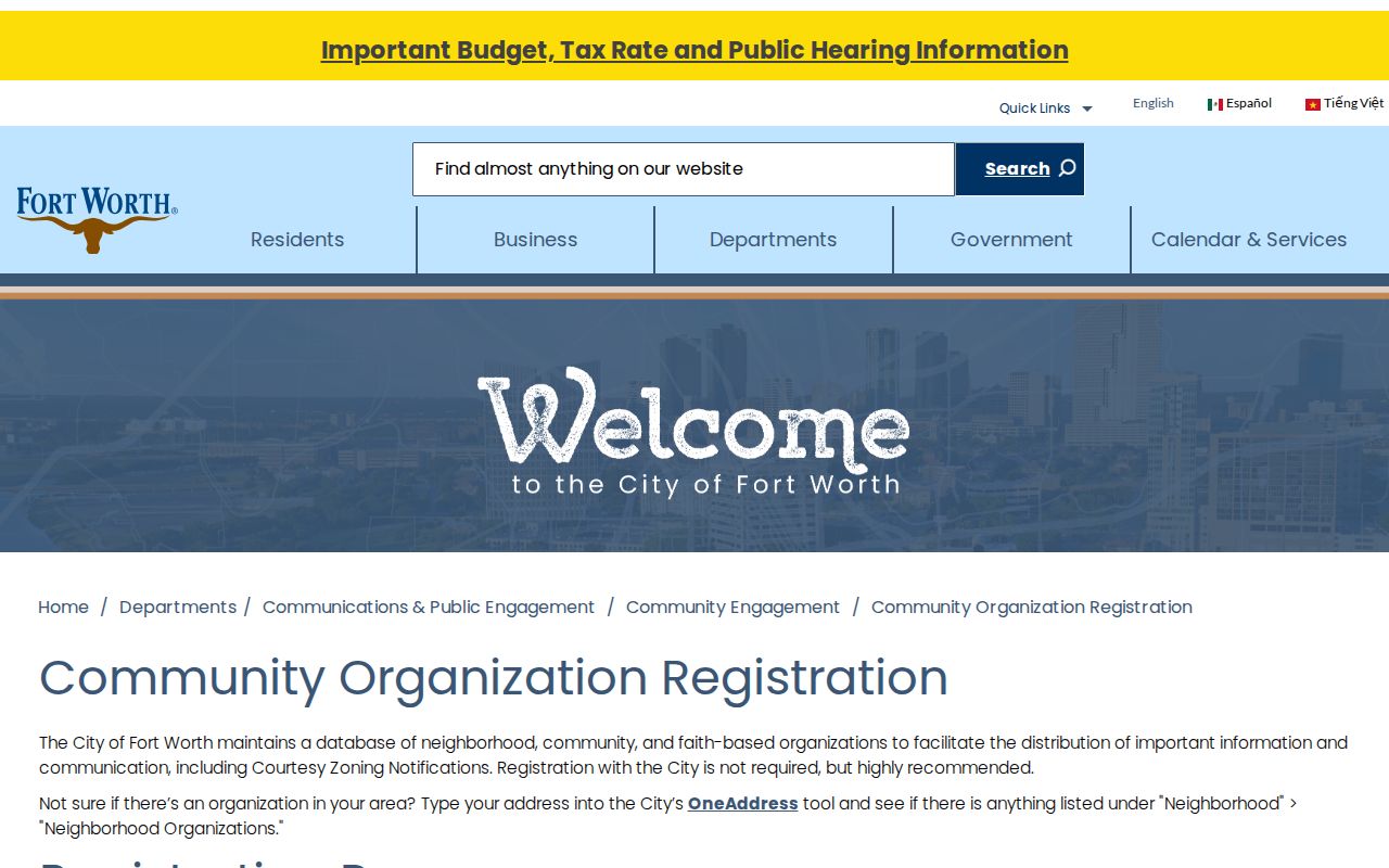
One inspected Near East Side Neighborhood Association record shows the kind of public organization data available: a mailing contact, stated boundaries, quarterly meetings, and city coordination fields. It does not publish a complete member roster.
Community Support
Use the city registration resource for a current organization contact, type, boundary, and meeting information. Confirm it directly before relying on it.
GIS Organizations Layer
Use the city-maintained polygon layer to see registered-organization boundaries. Registration changes can affect what the layer shows.
One Address
For Fort Worth addresses, check whether the municipal address tool associates a neighborhood organization with the location.
Tarrant Municipal Address Context
Fort Worth One Address is a municipal resource, not a countywide system. For a Fort Worth street address it can return Location Data, Permits, Code Violations, and Crime Data. Crime data is updated weekly, while juvenile cases are removed and events involving juveniles or witnesses are generalized to the hundred block. A permit applicant, contractor, code contact, or listed business is not automatically an owner or occupant.
The One Address municipal search displays the address-led sections that may add local context to a Fort Worth block.
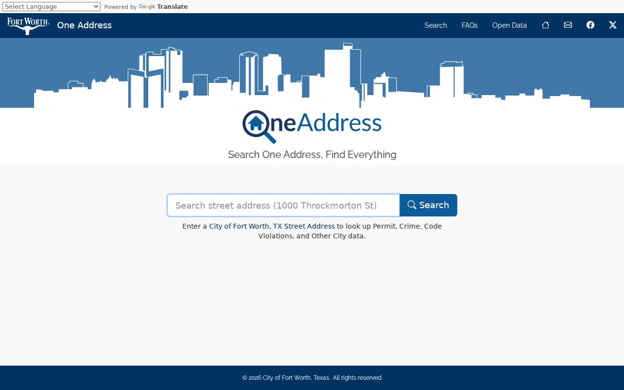
Check the CAID city-boundary layer first. An address in Arlington, Mansfield, Southlake, or an unincorporated area may need a different city custodian instead of One Address.
Tarrant County includes 41 incorporated areas as well as unincorporated pockets. A municipal result should remain tied to the city that supplied it, even when the street, postal label, and county parcel map appear to describe the same place.
Map a Tarrant Neighbor Block
The practical block flow is address to CAID target parcel, target parcel to adjacent polygons, each polygon to a TAD card, then the instrument reference to the County Clerk when ownership needs verification. Record the parcel direction and legal description as well as the address. That method stays focused on the immediate block rather than pretending a county map has a preset neighbor radius.
- Locate the address in CAID and turn on Property, ZIP Codes, and city-boundary layers.
- Identify the target parcel, then pan or zoom outward and click the adjoining polygons one at a time.
- Open each TAD card and separate the situs, tax mailing address, owner, legal description, subdivision, and instrument reference.
- Use the County Clerk Official Records Search to verify a named deed party or instrument when that detail matters.
- For a full named-street chain rather than the immediate block, use the Tarrant street directory workflow.
For older block context, the Fort Worth History Center and Tarrant Archives offer yearbooks, newspapers, funeral programs, school-census material, Footprints indexes, and cemetery records. Those sources place people or groups in a dated setting. They do not identify current neighbors.
Tarrant Neighbor Source Comparison
Official records and commercial neighbor-lookup categories are not interchangeable. County and city sources identify their custodian, record type, and access path. A paid category of neighbor reports commonly combines public filings, marketing data, purchased datasets, and address associations. Its matching rules, freshness, and correction process vary, and it does not control the original county record.
| Source Type | Useful Result | Boundary to Keep |
|---|---|---|
| Official parcel and Clerk records | Named owner, legal description, and recorded instrument trail | Owner and tax-mailing information does not establish household occupancy |
| Official voter and organization records | Individual registration or civic-group boundary and contact | Privacy rules apply; neither record is a block roster |
| Commercial neighbor category | Possible lead drawn from combined data sources | May be stale or misattributed; verify with the originating custodian |
The most reliable Tarrant neighbor result preserves the source beside the fact: CAID for parcel location, TAD for the tax record, the Clerk for a deed, and the city for a municipal or organization detail.
Tarrant Neighbor Privacy Limits
A parcel card, voter result, and organization page can overlap geographically without becoming a public list of who occupies a block. Household members absent from a public filing, protected voters, ordinary utility and delivery customers, motor-vehicle personal data, sealed cases, and confidential victim information remain outside a normal neighbor search. The federal Driver's Privacy Protection Act and Texas law limit general motor-vehicle personal-data disclosure.
Lawful use. Use Tarrant neighbor records for personal, civic, family-history, or other lawful research. Texas harassment and stalking laws apply when address or record information is used to threaten, monitor, contact, or intimidate someone.
The Fort Worth neighborhood database is being replaced. For a registered-organization record, the city directs inquiries to engagement@fortworthtexas.gov. Verify current group contacts directly, and leave protected or missing information protected.