
Walk a Tarrant County Street
A Tarrant County street directory search works best as a chain, not a single name query. Begin with the address in the Tarrant Appraisal District Property Search. Its current card can connect a situs address, the physical parcel address, with an account, georeference, legal description, primary owner, and instrument reference. A mailing address is also useful, but it is where tax notices go. It does not establish that the owner occupies the property. Save the account and legal description before moving to a second source.
Next, use the Tarrant County map to place the parcel on the actual street. Then use the recorded instrument to check the transfer behind the tax card. A voter match or a dated directory entry can add a time-specific connection, but neither fills every gap. This sequence separates ownership, registration, and historical listing evidence instead of treating them as the same fact.
- Search the full address in TAD and record the account, georeference, situs address, primary owner, mailing address, legal description, and instrument reference.
- Open the same address in CAID. Turn on Property, ZIP Codes, and city-boundary layers, then use identify or select to inspect the parcel and its street context.
- Use the instrument number or legal description in the County Clerk index. Note the named grantor, grantee, document number, and recording date before searching backward.
- For a registered-voter confirmation, use the name-first voter interface only when the person can be narrowed with its required identity details. It is not a street roster.
- For an older address, check the dated reverse or street listings held by local repositories, keeping the directory year beside the address.
Note: Adjacent lots can carry different subdivisions, legal descriptions, and transfer histories even when their street numbers appear consecutive.
Tarrant County TAD Address Fields
TAD gives the street directory its current parcel layer. The search screen supports Property Address, Owner Name, Owner Address, Account Number, Geo Reference, Legal Description, Property City, Site Number, and Subdivision Name among its categories. A reader searching a whole street should begin with a careful street-name query, narrow by city or property type where that helps, and avoid assuming every matching row is part of the same neighborhood. Results display the account, georeference, property address, city, owner, and market value. The expanded record adds the information needed to check the match.
The page-size control can show 25, 50, or 100 rows, and the results offer Excel or Text export. Those controls help organize a parcel-by-parcel Tarrant County review, but an export is still a current tax-roll snapshot. It is not proof that every named person lives on the street. The Tarrant County tax office has a separate account lookup for account number, owner address, or owner name, which can help confirm current account details without replacing the deed record.
| Field or control | Type | How it helps on a street |
|---|---|---|
| All Categories | Search category | Select address, owner, account, georeference, legal description, city, or subdivision terms. |
| Property type | Selection | Limits a query to Residential, Commercial, Mineral, or Personal Property. |
| Enter Your Search | Text entry | Accepts the chosen address, name, account, georeference, or legal-description term. |
| Page size | Result control | Shows 25, 50, or 100 rows for a careful street-name review. |
| Export All or Export Page | Output control | Produces Excel or Text results for notes and comparison. |
The search image from the Tarrant County Official Records Search shows the next step after TAD supplies an instrument or legal-description lead.
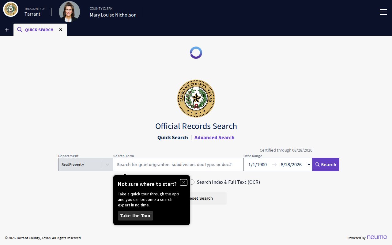
The Clerk index is not a parcel card. Keeping the two tools separate helps prevent a tax result from being mistaken for a recorded deed.
Tarrant County CAID Street Layers
The Comprehensive Address Information Directory, or CAID, is the map companion to a TAD result. It provides Main Search, Composite, and Bing Search modes, along with address, owner-name, and tax-account paths. Composite geocoding can be approximate, so compare the selected parcel with the address and account already captured from TAD. Once a street segment is visible, enable the Property layer and inspect each parcel rather than relying on a label at a wide zoom.
Tarrant County CAID layers add local context that a street directory search cannot get from a name alone. ZIP Codes, city boundaries, precincts, school districts, flood contours, and two-foot contours can change along the same road. Identify, select, zoom, and pan are the documented tools for moving between parcels. A separate radius tool was not located in the available county materials, so a street note should state which visible parcels were selected and when the map was checked.
| Main, Composite, Bing | Three county map search modes, with Main Search as the direct address/property path. |
|---|---|
| Property | Parcel layer for selected property and owner-related context. |
| ZIP Codes and city boundaries | Geographic context only, not a USPS delivery guarantee or a municipal-residence finding. |
| Precincts, districts, schools, flood layers | Jurisdiction and physical-context layers that can differ across one street. |
The Tarrant County CAID map shows the parcel-focused map view and its available layers.
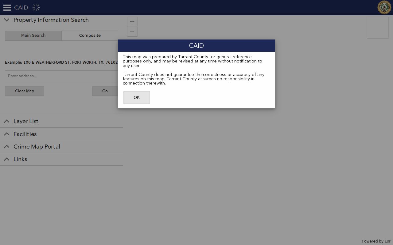
Use the visible layer controls to document why two nearby addresses may have different city, ZIP, precinct, or school context. The county treats the map as general reference information that can be revised.
Tarrant County Street Boundary Split
Tarrant County contains 41 incorporated areas as well as unincorporated pockets. That geography creates a real street-level quirk: a TAD legal description can say “CITY BOUNDARY SPLIT,” while a map label, tax mailing city, and postal label point in different directions. A continuous roadway can cross Fort Worth, Arlington, Southlake, a smaller municipality, or a county pocket. The parcel, not the street name, is the safer unit for an address search.
Within Tarrant County, Fort Worth One Address is another source with a narrower footprint. It provides weekly municipal address data, permits, code information, and related location material for Fort Worth addresses only. A contractor, applicant, code contact, or business appearing there is not necessarily the occupant. For any result outside Fort Worth, use CAID and the applicable city custodian rather than carrying the municipal result across a boundary.
Note: A postal city, a municipal boundary, and a tax-record mailing address can all differ for the same Tarrant County parcel.
Tarrant County Street Deed Trail
When a parcel card supplies an instrument reference, move to the Tarrant County Official Records Search. The Tarrant County Clerk portal accepts quick and advanced searching by grantor, grantee, subdivision, document type, document number, and date range. It also distinguishes index-only searching from full-text OCR. Multiple terms in index-only mode are searched individually, while OCR treats a multiword query as a phrase. That difference matters when a subdivision or legal description is the useful address clue.
Search the identified instrument first. Record the current grantee, prior seller or grantor, date, document number, and legal description. Then search the seller as grantor and grantee, narrowing the date range around the earlier transfer. A lot-and-block description can carry the chain through a street-name change or a missing street number. Open the prior image when available, because an index may not capture a correction deed, survivorship wording, restrictive language, or a revised legal description.
The Tarrant County Clerk offers several copy channels. Staff and public kiosks are available in person at Room B30, 8 a.m. to 5 p.m. Free unofficial watermarked online copies require account registration. Certified copies can be ordered from the document screen, or requested by mail with document numbers, a self-addressed stamped envelope, and approved payment. The listed copy charge is $1 per page, plus $5 for certification. The Clerk does not conduct title or lien searches, so the researcher must make the parcel-to-instrument connection.
Tarrant County Street Record Layers
Each Tarrant County address source answers one defined question. TAD is the strongest current taxable-owner clue. CAID shows parcel placement and jurisdiction layers. The Clerk index ties a parcel to a recorded instrument. Fort Worth One Address can add a municipal permit or code record only within that city. Dated directory material may identify a historical listing at the address. The voter interface is name-first, using last name, first name, date of birth, and State Voter ID, so it should confirm a narrowed person rather than create a street list.
| Address source | Best question | Tarrant County access and limit |
|---|---|---|
| Tarrant County TAD parcel card | Who is the current taxable owner and where do tax notices go? | Current online card; historic online cutoff not stated. |
| Tarrant County Clerk index | Which recorded instrument transferred the parcel? | Online index and copy paths; most deed continuity is post-fire 1876. |
| Tarrant County CAID | Which parcel, boundary, ZIP, or precinct context surrounds the address? | Public map; ZIP layer is geographic context. |
| Fort Worth One Address | Which local permit or code material is tied to a Fort Worth site? | Fort Worth only; weekly municipal data. |
| Directory or criss-cross listing | Who was listed at an address in a particular year? | Selected historical runs and real gaps; match the exact year. |
| Voter record | Does a narrowed registration result align with an address? | Name-first lookup; protected results may be withheld. |
A parcel is land identified for tax purposes. A situs address is the physical property address shown on that parcel record. A plat is the recorded map that lays out lots, blocks, and streets. A criss-cross directory is a reverse address listing that can lead from a street address to a dated name entry. Those terms describe different record layers, so they should not be blended into one claim.
Tarrant County Historical Street Listings
For a past household, the Tarrant County street directory must shift from current parcel tools to a dated listing. North Fort Worth Street Occupancy material covers 1909 to 1910, and the Wallace Street Guide covers Fort Worth, Arlington, and the Mid-Cities in 1975. Fort Worth directory runs, Texas State Library holdings, and History Center microfilm provide other years, but they do not form one uninterrupted reverse-directory series. Write down the directory title, date, city coverage, and address exactly as printed.
The 1912 Fort Worth map and 1919 North Fort Worth map help compare a historical street layout, rail lines, river, and city limits with a modern address. No official citywide street-renumbering year was located. A changed number should therefore be checked address by address against maps and directories rather than assigned an unverified conversion. The historical collections themselves are described in more depth in the Tarrant County city directories.
Older county research also has a hard records break. The March 29, 1876 courthouse fire destroyed most early deed and district-court materials, while some probate records and later reconstructions survived. A blank pre-fire deed result is a gap in the historical record, not evidence that a household or parcel did not exist.
Tarrant County Street Research Limits
A Tarrant County street directory can show a current tax owner, a recorded party, a registration match, or a dated directory listing. It cannot create a full household roster. Ordinary utility customers and general motor-vehicle address data are not public resident sources. The federal Driver’s Privacy Protection Act and Texas Transportation Code chapter 730 limit motor-vehicle personal data. Protected voters, Address Confidentiality Program participants, sealed records, and confidential victim information may also be absent or redacted.
Use the record for a lawful personal, genealogical, civic, or property-history question. Verify a result with the office that holds it, especially before treating a mailing address as a residence. Texas Penal Code sections 42.07 and 42.072 address harassment and stalking. A public index does not authorize repeated contact, monitoring, intimidation, or harm.
Lawful use. Tarrant County address records are for careful, lawful research. Do not use any name, address, or record detail to stalk, harass, intimidate, or harm another person.